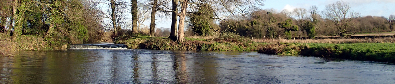
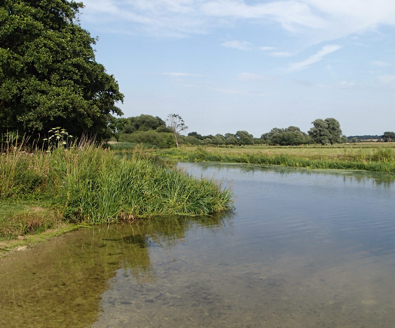
Project volunteers are doing a survey of the rivers and other waters, to look at historic, current and possible future swim spots and other recreation places, to map them, talk with landowners about any issues, and to consider providing signage with safety, wildlife and heritage info at popular spots. Access to places to swim is important as popularity rises, numbers living in the area increase, and demand is high for the few places it is possible for swimmers and those who enjoy the water to go.
As well as looking for access to swim (or do other recreation), we are also looking for routes for swim walks, runs or cycles. More details here, https://www.imogensriverswims.co.uk/blog/os-brecks-2/swim-walks/
If you’re interested in swimming, walking and access, get in touch and discuss volunteering to help with the survey. We’ll add more detail on the survey once detailed plans are developed.
The Healing Waters project is part of The Brecks Fen Edge & Rivers Landscape Partnership Scheme projects, supported by the National Lottery Heritage Fund.
Extract from Healing Waters project outline:
MAP AND SURVEY
Purpose and aims
To map and assess the rivers and other waters in the Breckland area for watery recreation
To recognise and establish swimming places suitable for different types of swimming and other watery activities, and to consider publicising them appropriately
To provide signage with historic and practical information and safety advice
To provide educational and information materials in conjunction with youth groups participating in the Tales from the River project
Train a group of volunteers in risk assessment and river safety awareness
Carry out an assessment/survey of rivers (and other waters)
• on foot, at points publicly accessible from road/public footpath/permissive path/common/open access area
• on foot, at points on private land with landowner permission
• by water, either by swimming or kayaking/canoeing (where possible, safe, and clearly permitted)
• including assessing places that might be currently considered not suitable (e.g. near locks, private land that can be accessed without trespassing/with permission, including conservation areas), for discussion
in order to:
• find suitable beaches or places for swimming, entering and exiting the water
• find suitable swim walks/swim runs
• consider suitability of places for different categories of swimmers and other watery activities
• find suitable places for other water related recreation
• investigate places suggested by other projects, particularly the research and oral history by adults and youth group in Tales from the River
Map the locations using QGIS, putting together
• findings from assessment/survey
• information from Tales from the River or other projects
• old maps
• current OS maps
• other relevant information, e.g. conservation data
Consider and Discuss
Consider issues raised and discuss, e.g. locks/weirs with Environment Agency, sensitive wildlife areas with relevant organisations, access and other issues with landowners
Consider suitability of places for types of swimmer/ other recreational water user
Consider whether some places are suitable to recognise and publicise on national or local wild swim/swim walk maps
Consider places to establish or improve as swimming places, including signage, infrastructure or facilities
Action
Design and produce signage, including historic and practical information and advice
Put in place infrastructure or facilities if appropriate, or signpost to nearby facilities
Produce educational materials, leaflets, and display materials, jointly with and informed by the Tales from the River project.
= =
More detail and links on Access and legality page on this website.
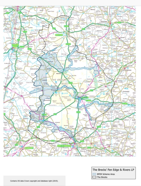
You can see a larger copy of the area map on The Brecks Fen Edge & Rivers Landscape Partnership Scheme website.