| County | Norfolk |
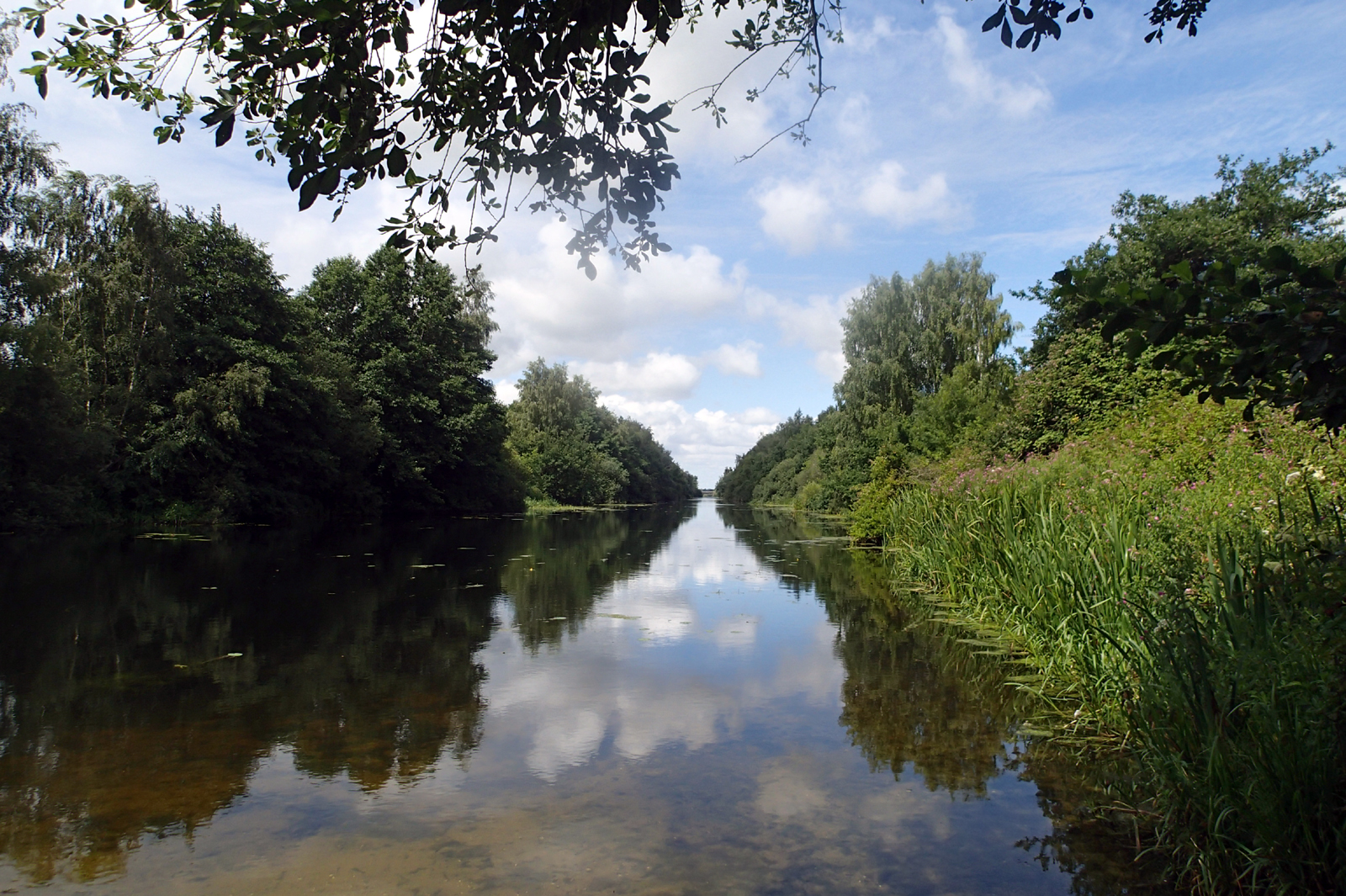
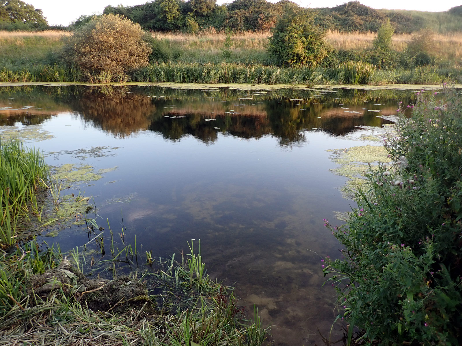
| River | Cut Off Channel (and Wissey) |
| Swim location name | Stoke Ferry Common |
| Grid reference | TL695989 |
| Latitude | 52.561716, |
| Longitude | 0.500573 |
| What3Words | campers.chat.screaming |
| Nearest postcode | PE33 9QL |
| Other info | Stoke Ferry Common, School Lane Car park at end of lane, straight on to nearest beach/entry point (lots more in either direction) Entry points to water are down steepish banks, but each have a less steep path running down to them. Entry to the water is shallow and firm, before going out into much deeper water. (A few points have anglers steps, but these are steep and rather alarming looking in most places.) There are some weeds, some areas more than others (July 2020) Can be blue green algae (Aug 2023). https://gridreferencefinder.com?gr=TL6959798924|Point_s_C|1&t=Point%20C&v=r Alternative, with parking by bridge https://gridreferencefinder.com?gr=TL6850599242|Point_s_D|1&t=Point%20D&v=r Address (near) : Wretton Fen Road, Wretton, Nearest Post Code PE33 9QP Lat,Long 52.564911,0.484641 Nat Grid TL685992 what3words angry.souk.tilting Alternative in the River Wissey https://gridreferencefinder.com?gr=TL6850599242|Point_s_D|1,TL7029299004|Point_s_B|1&v=r&labels=1 (grass/beach entry) River Drove, Stoke Ferry, Wretton Nat Grid TL702990 Nearest Post Code PE33 9QL Lat,Long (WGS84) 52.562218,0.510856 what3words broadens.ordinary.crazy |