Please note: all swims are at our own risk. Including a location does not indicate that it is recommended or that it is safe; we must do our own risk assessment. Swim Safety info on this website, and on Outdoor Swimming Society website, Survive section.
| County | Norfolk |
| Rivers | Little Ouse and Thet |
| Swim location name | Multiple – see below |
| Grid reference | Multiple – see below |
| Latitude | Multiple – see below |
| Longitude | Multiple – see below |
| What3Words | Multiple – see below |
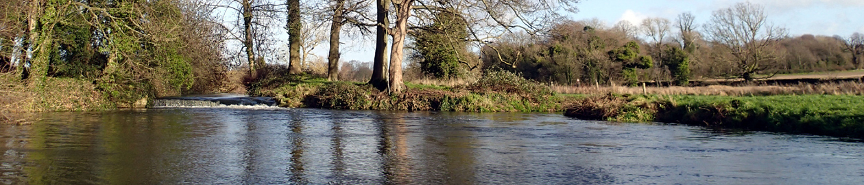
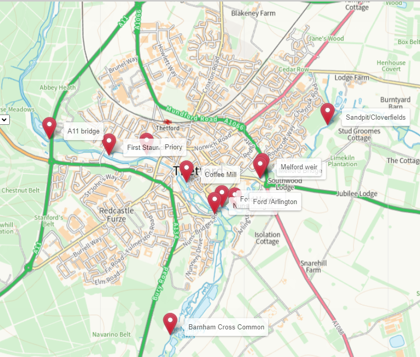
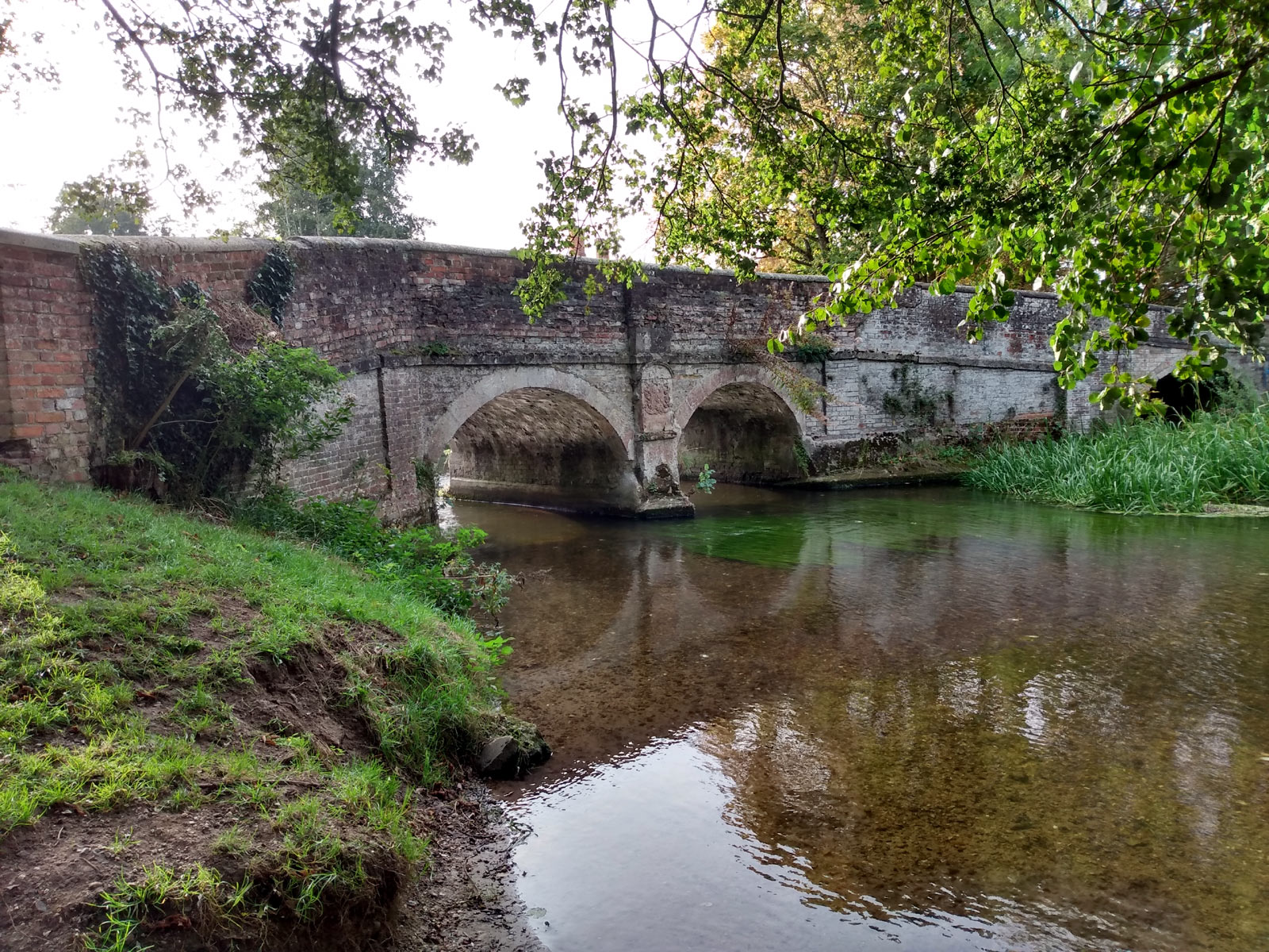
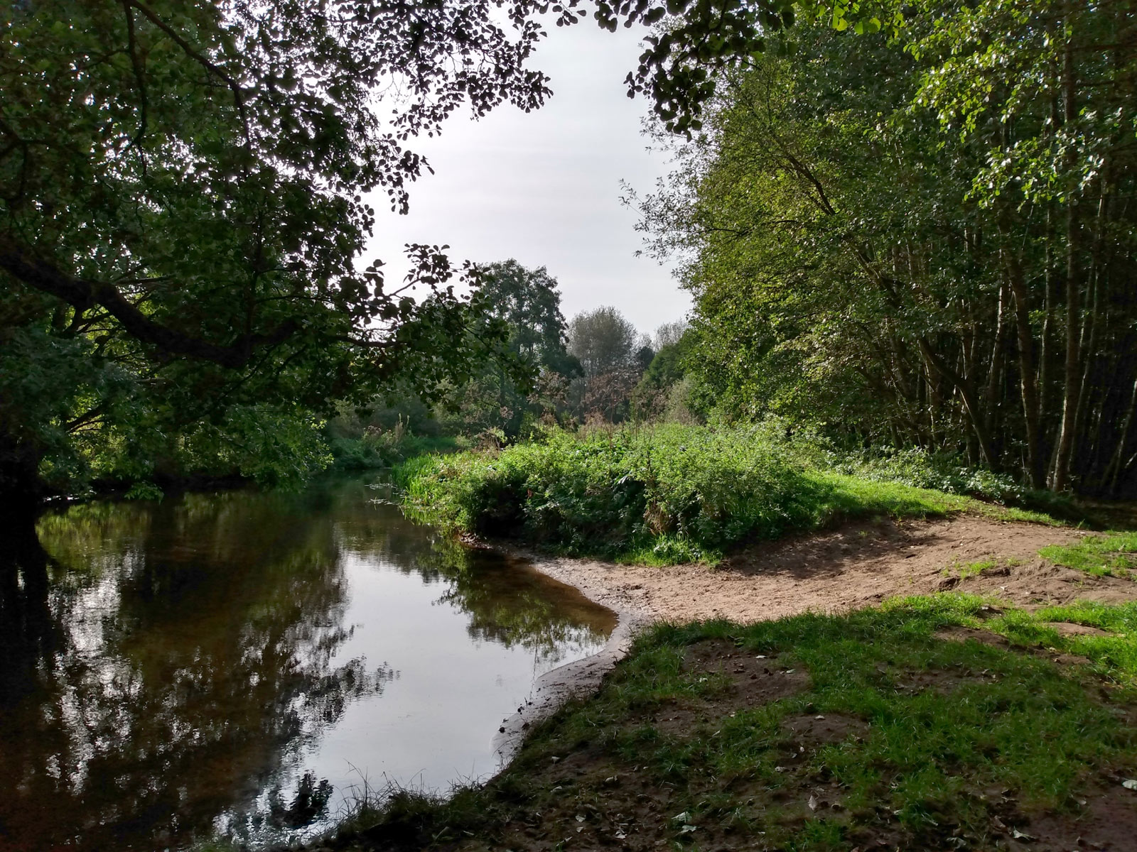
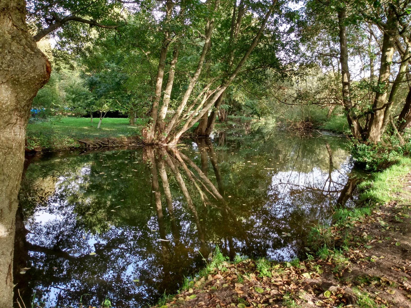
| Other info | There are many swim and paddling spots in Thetford, which has a rich history with many more spots. These are some that are used today or could be. See Points on a Google map, including location details and some comments on each. Or see on this Gridreferencefinder map. |
| Swim account | |
| Swim account | |
Location info and comments
| Description | what3words | Comment |
| A11 bridge | quitter.courier.ending | Not much used |
| First Staunch | pushes.brightly.soups | Mainly paddling |
| Priory | vineyard.suspends.tabloid | Not much used |
| Coffee Mill | twinkled.releases.sailing | Deep mill pool |
| Nuns Bridges | limelight.shipyards.skyrocket | Mainly paddling |
| Ford Meadow | crunchy.intrigued.tactical | Deep stretch |
| Ford /Arlington | hotels.snug.eggs | One of many entry points |
| Melford Bridge | craftsman.haircuts.late | Mainly paddling |
| Melford weir | manicured.hits.overgrown | Note risks of weirs |
| Sandpit/Cloverfields | jumbo.rear.state | Fairly deep stretches |
| Barnham Cross Common | installs.drifters.modules | Small and shallow |
Please note: all swims are at our own risk. Including a location does not indicate that it is recommended or that it is safe; we must do our own risk assessment. Swim Safety info on this website, and on Outdoor Swimming Society website, Survive section.
[swim log 1480,1544,1550,1569,1599,1634,1674,1676,1699]