We have rights to access the countryside on highways, public rights of way, and open access land. But in reality these rights are limited. Open access land is not always open, and you’re not allowed to swim and do other things there even if you can get to it. We explored three areas this weekend and found several different limits to our right to enjoy the countryside. I’ve outlined these here followed by some more detail on the legislation, its limitations, and possibilities for the future.
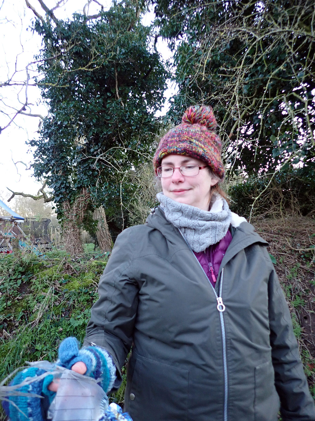
Some say we already have a right to roam under legislation passed in the year 2000, known as CROW, but it is limited in area, in accessibility, and in what you are allowed to do on it. Campaigners calculate that it is only 8% of England, but out of that many areas are not accessible by a public right of way – so are (inaccessible) Access Islands. This weekend the Right to Roam campaign is focusing on these access islands, to show how limited our rights are to access the countryside. They’ve published a map showing many of them across the country and invited people to visit those nearby (responsibly) and report what they found. So this is what a friend and I did on 24 February 2024. We found many other limitations and anomalies – some of them especially frustrating to swimmers!
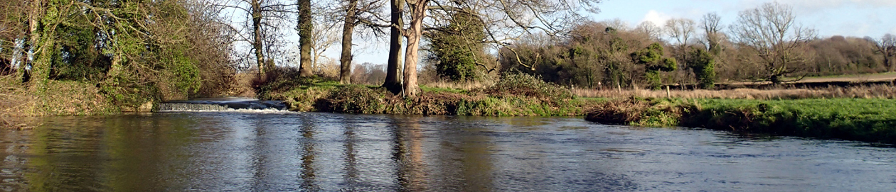
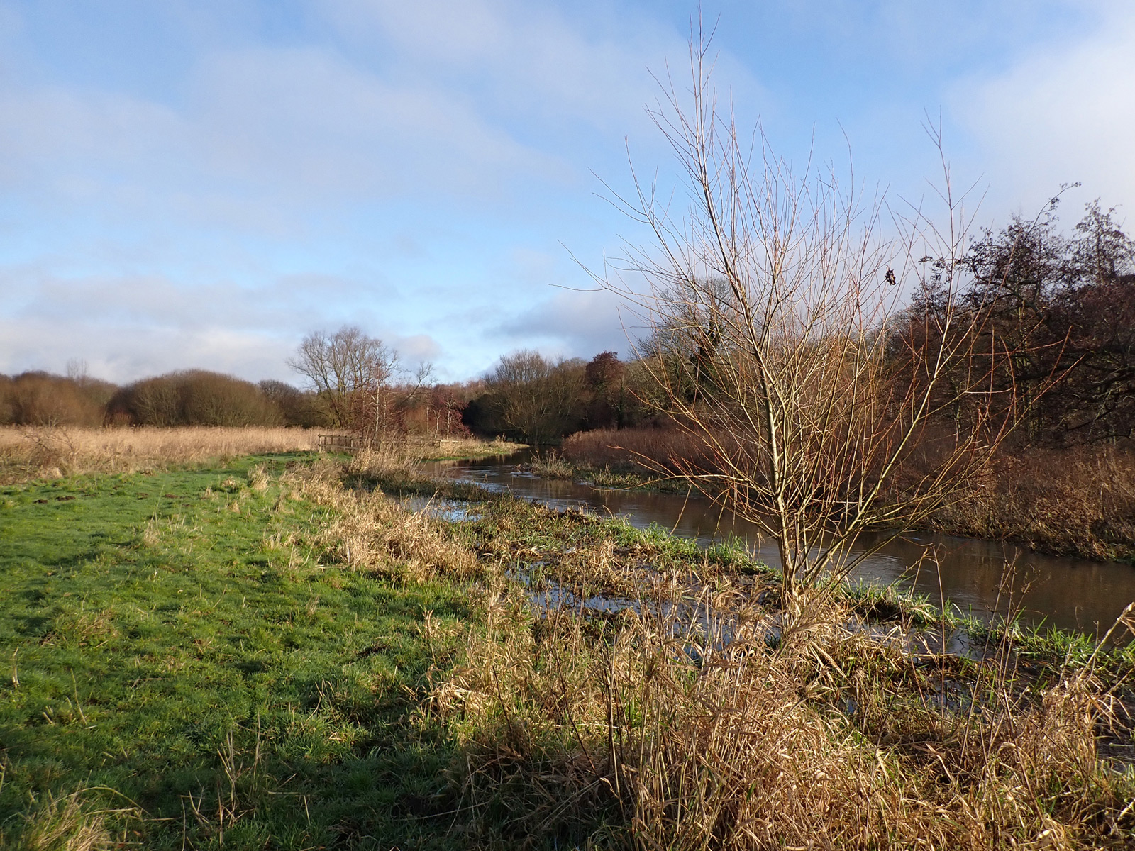
First we explored an access island known as the ‘Unit Land’, part of Burgh Common, owned by Swanton Morley parish council. You can only reach it along a private track from a road (with a forbidding no entry sign), or by leaving a byway along a track used by anglers, or leaving a footpath to go along a path in a commercially run nature walk. Or you could swim to it; in the past there was a ford across the river. When you get there most of it is marsh and the rest overgrown, apart from the nature walk path. As the path was flooded we tried to explore the overgrown area by the river, which was impassible. It doesn’t give access to the river but it should, to join up with the rest of the common on the other side. However, under the current legislation swimming wouldn’t be allowed even if it did.
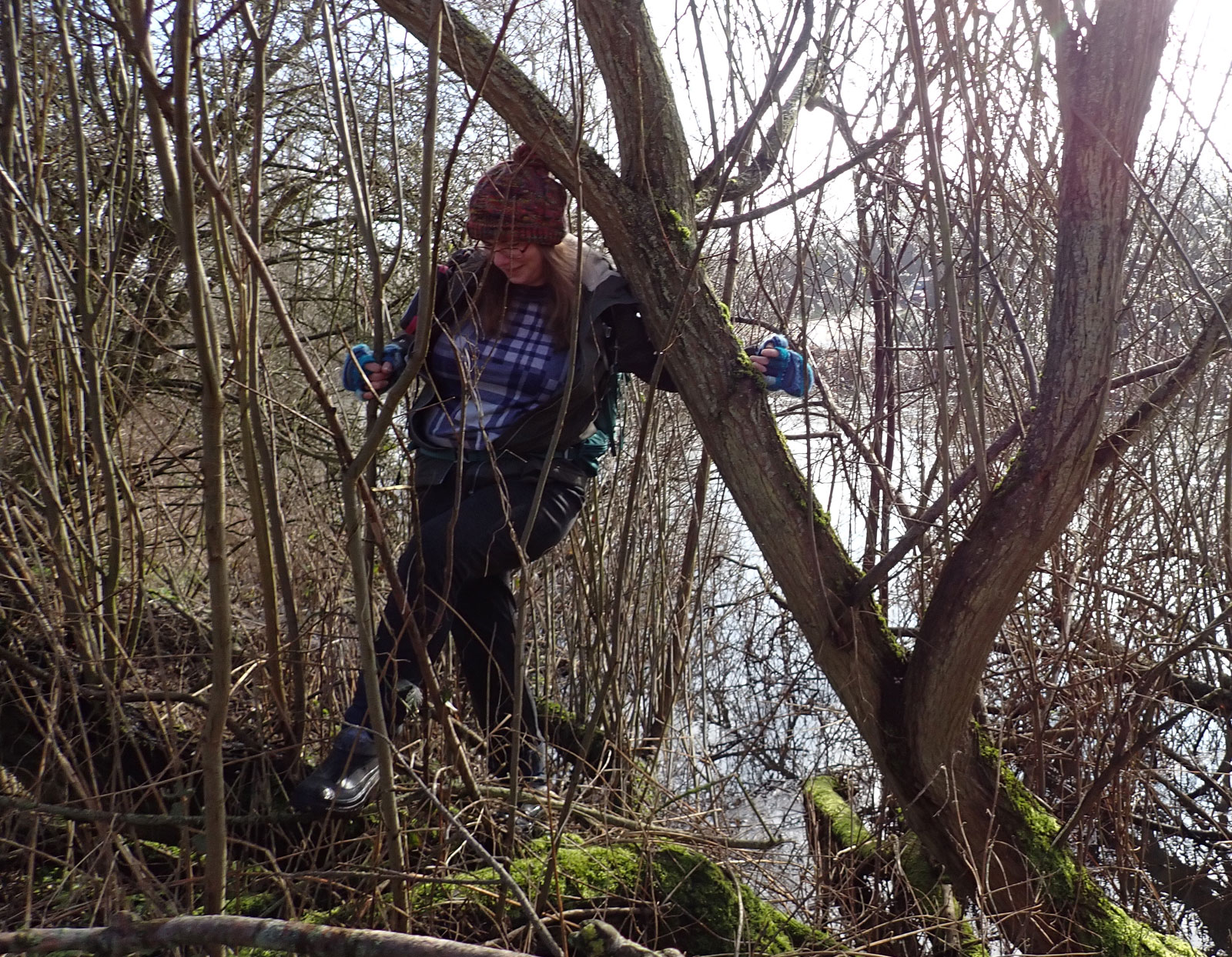
Nothing tells you it is open access apart from the OS map. In fact the owners of the surrounding land give the impression that you need to pay £5 to be allowed to walk to it, and the owners of the island keep quiet about it. This might be just one small pocket, but it shows how easily areas we should have the right to access can be lost. It was almost lost completely, but a very complicated late 1980s enquiry established its history and made sure that it was protected.
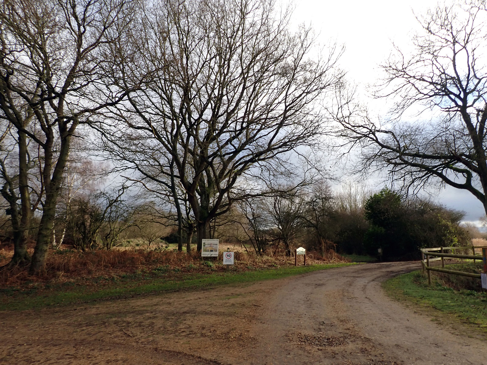
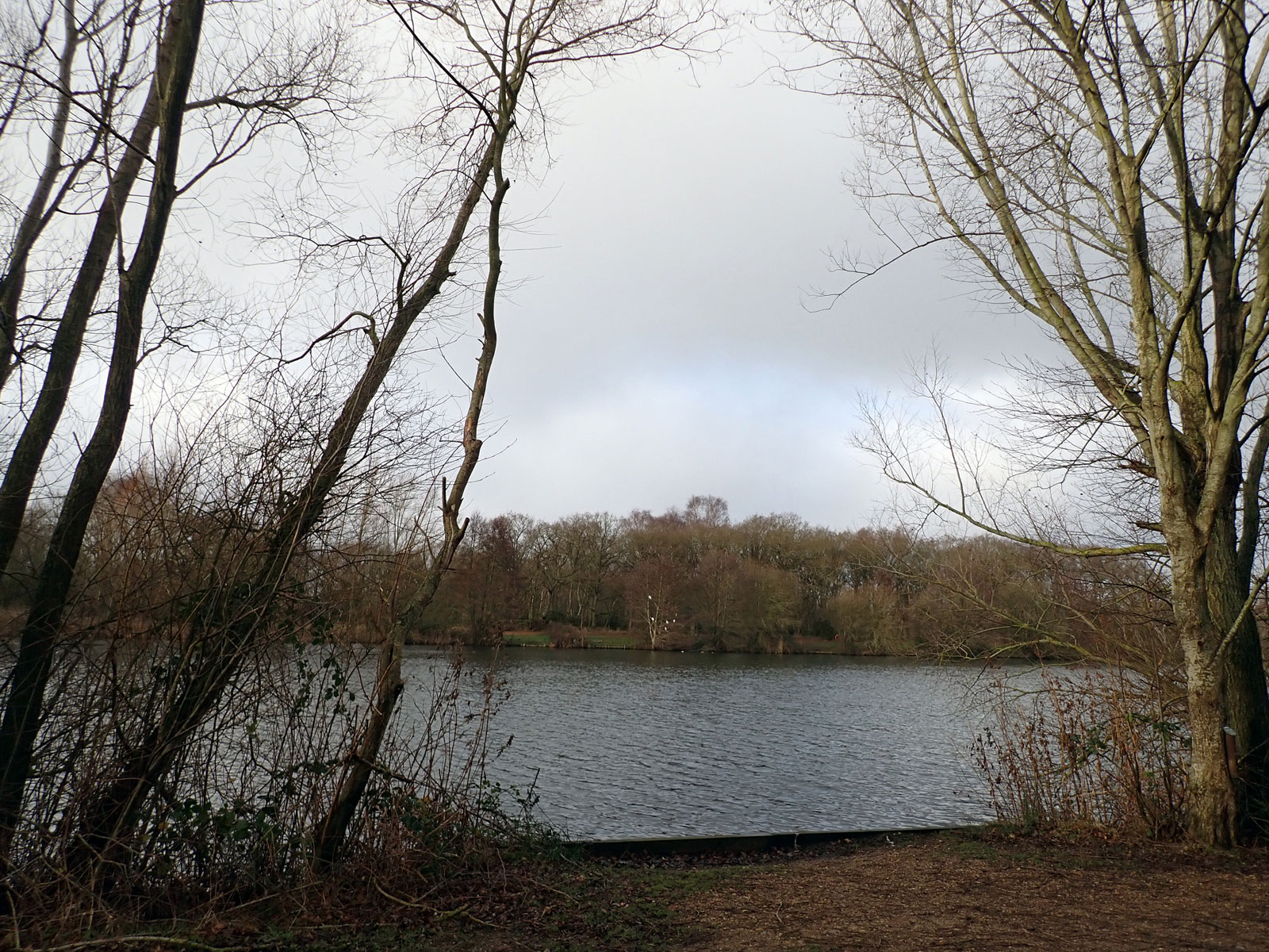
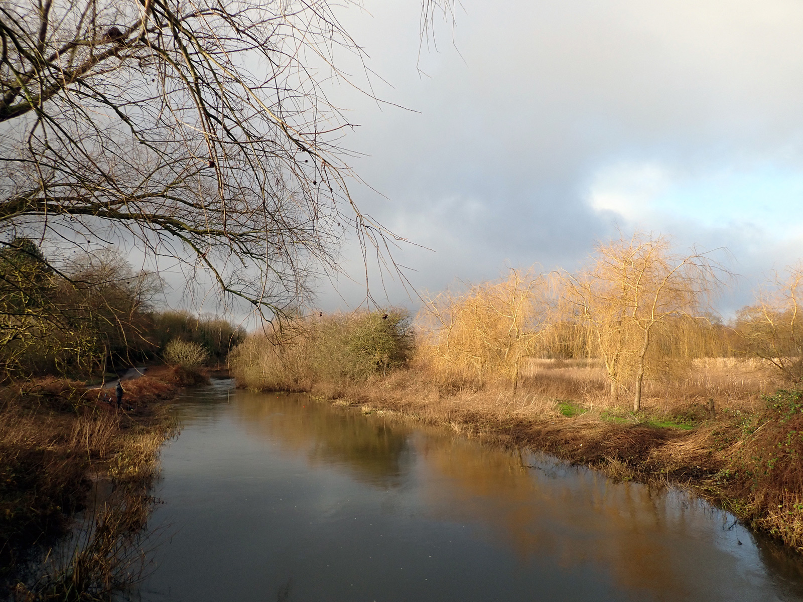
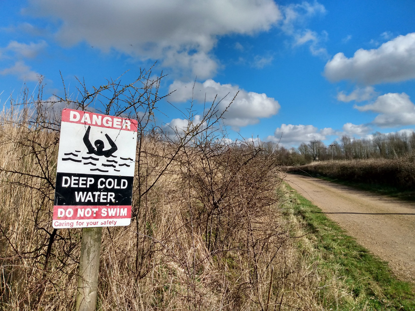
Our second exploration was a nearby open access area, a remnant of a larger ancient common – Billingford Common. This can be reached from a footpath and a byway, and includes some woodland and open areas, marshes, ponds and drainage ditches. It also includes five beautiful lakes next to the open access land (and more beyond that). These are used for coarse and fly fishing, and were very popular on this sunny but cold spring day. In fact some of the open access land is actually now under part of a lake, because the area was designated and then more of it was dug up for quarrying (losing us even more of our access land). Even though the open access land covers water that doesn’t mean you can go into the lake, as the 2000 legislation specifically forbids ‘bathing’ in waters in open access land. The owner is no doubt happy about this as they charge people to fish in it. This restriction on activities on open access land must change, and it will be interesting to see what happens in places like this when that happens. Landowners are very likely to resist it.
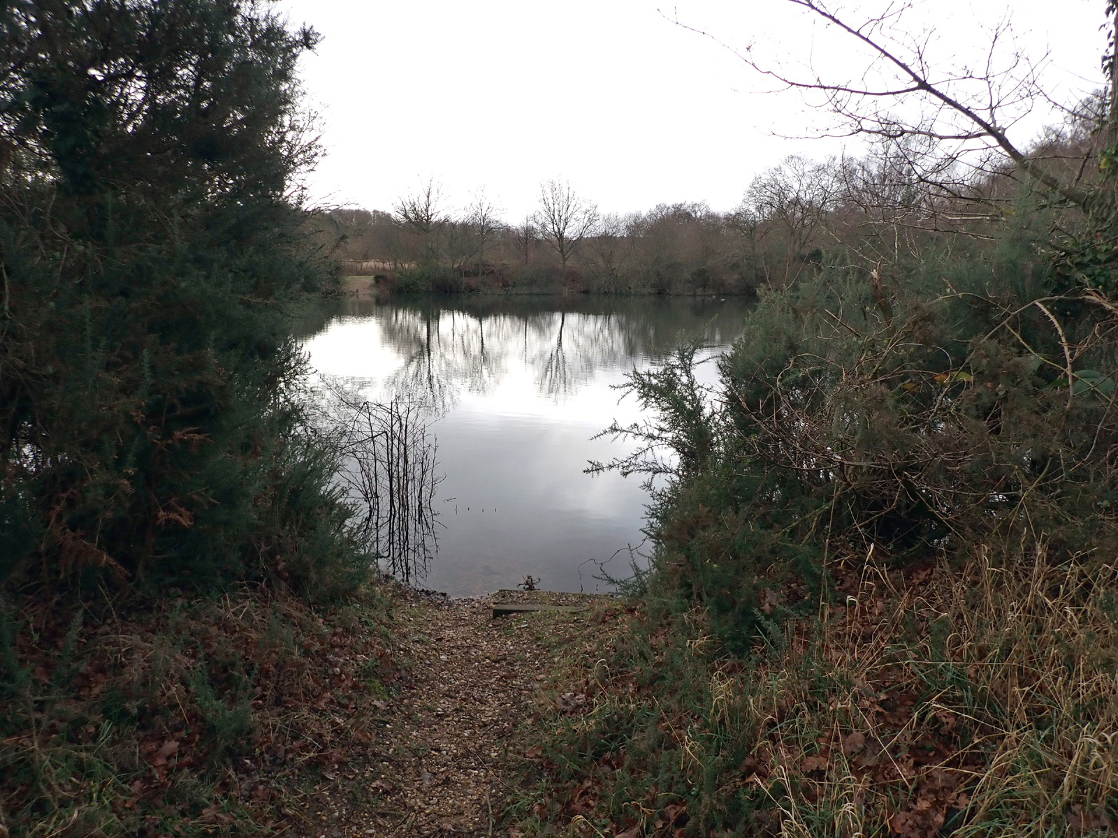
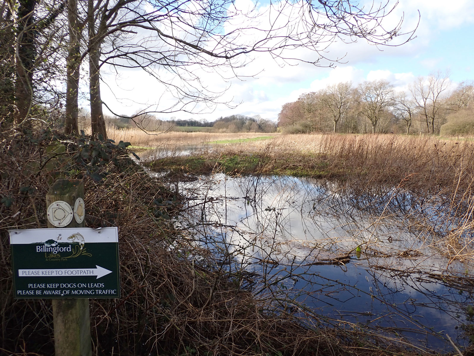
On our walk we met an old man whose uncle had owned the earliest gravel pit, now a small and lovely lake. He’d walked down to look at it but got lost as there are now many more pits and the area is very confusing, so we directed him back to the village along the byway. There is nothing to tell you where the access land starts and stops, and instead there are misleading signs telling you to stick to the footpath. This is very wrong because the point of open access land is that you are not confined to narrow paths. And worse, the impression is given that you have to pay £5 to access this land along the nature walk – which is totally wrong. Added to that, some of the land has been surrounded by barbed wire, littered with old caravans and junk, and some has even been covered with more permanent looking homes or sheds with a gated off entrance! Yet more areas of access land that is already lost in practice because our current access rights are very poorly enforced.

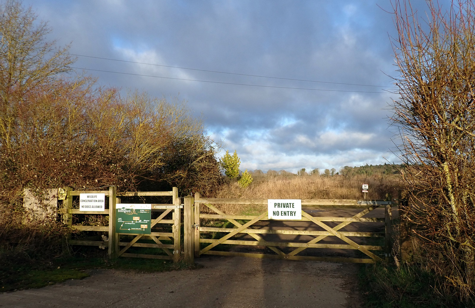
Our third exploration was another Access Island. Mill Common, Swanton Morley, is a beautiful meadow owned and run by the parish council. However, it is reached through a gate plastered with notices that seem designed to put you off entering, are contradictory and invalid. Landowners are allowed to put some restrictions on access land, such as for conservation, but these are time limited and have to follow a procedure and be consulted on. The path to the common is not a right of way so has no legal protection, meaning that in theory it could be closed at any time. We picked up some litter from the path, probably thrown in from the road. About one third to half of the common is flooded, depending on time of year, meaning that not all of it is usable for walking. The river flows alongside, but open access legislation prohibits bathing! It is a lovely place to walk (though you need wellies at the moment), but it seems unlikely many know about it or their rights, and are likely to be put off going there. So this is another example of how our rights are limited in practice.

These three explorations in one small area show how limited our open access rights can be. We can’t get to areas other than by trespass or permissive paths that could be withdrawn any time, we don’t know about them or are actively misled, and when we get there they can be very inaccessible for walking – flooded, marshland, overgrown, or even permanently flooded with a lake!
As swimmers, we know it is difficult to access water and that we are excluded from many places we would like to swim and see no valid reason not to do so responsibility. Extending CROW to allow swimming would help, but not much, because of these limitations. The only way we can get a real Right to Roam and Right to Swim would be with a presumed right of access to walk and swim, similar to Scotland, with minimal and sensible restrictions.
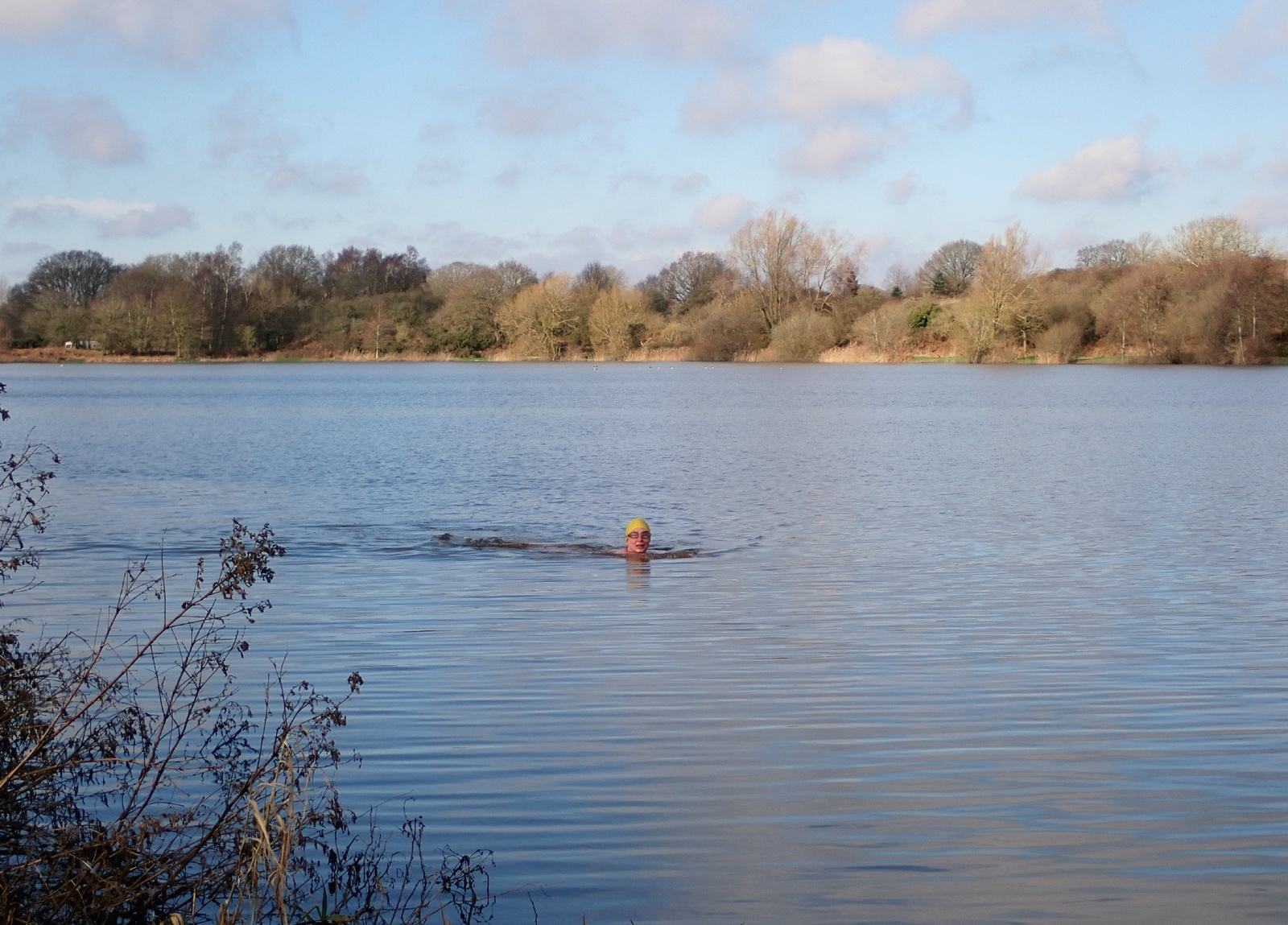
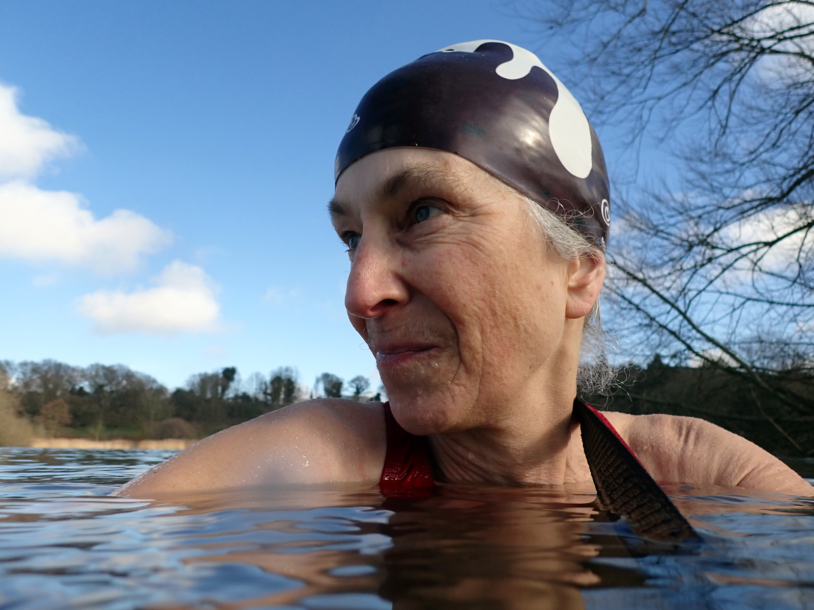
On our exploration, being swimmers, we managed to find a couple of places to swim trespass during our day out, but it would be much nicer to be able to go for a swim as a right rather than having to worry about being challenged.
Read about Access Islands in the Right to Roam Instagram posts, https://www.instagram.com/p/C3pqQmmI7QZ/?igsh=MjlmYTZkYWF6aHVp and https://www.instagram.com/p/C3ngaT4ItE4/?igsh=ZjZjNDZ5cjhsMGUw.
More about open access legislation
The CROW Act explicitly excludes swimming (or bathing as it is worded), and says that those doing it are not entitled to be on access land. The penalties are that a person doing so becomes a trespasser and cannot return within 72 hours, Of course trespassing is a civil matter, not illegal, and it’s not clear if this is ever enforced, but being in the legislation classes the activity as illegitimate. Guidance on the government webpage explaining the law doesn’t emphasise this, so it might not be that well-known, https://www.gov.uk/guidance/open-access-land-management-rights-and-responsibilities#what-people-can-do-on-your-land.
Countryside and Rights of Way Act 2000 (CROW) legislation ( extracts):
- “2 Rights of public in relation to access land.
- (1)Any person is entitled by virtue of this subsection to enter and remain on any access land for the purposes of open-air recreation, if and so long as—
- (a)he does so without breaking or damaging any wall, fence, hedge, stile or gate, and
- (b)he observes the general restrictions in Schedule 2.…
- SCHEDULE 2 Restrictions to be observed by persons exercising right of access
- General restrictions
- 1 … section 2(1)] does not entitle a person to be on any land if, in or on that land, he— [long list of activities, including]
- … (i)bathes in any non-tidal water”
[my emphasis] https://www.legislation.gov.uk/ukpga/2000/37/section/2; https://www.legislation.gov.uk/ukpga/2000/37/schedule/2
Landowners can choose to change this, as the government guidance says: “You can also allow additional recreational activities to take place on your open access land by relaxing or removing one or more of the general restrictions, for example to allow people to ride horses. This can be done either through a permanent dedication, or by agreeing to a ‘direction’ that makes this change indefinitely or for a specified period of time.” https://www.gov.uk/guidance/open-access-land-management-rights-and-responsibilities#what-people-can-do-on-your-land.
There are other issues with CROW. There are anomalies, access islands, places excluded that should have been included when the work was done to identify them. This is due to be reviewed. It’s a complicated business, and some landowners often resist their land being classed this way, and then try and make sure it is inaccessible – either by hiding it, making it difficult to access, giving misleading information, or perhaps just ignoring its existence. And if it’s not easy to use and people don’t use it, it’s more likely to be lost (in the same way as footpaths).
It’s difficult to know where it is. The definitive map to find out where open access land is on the Natural England website, but even then some of it is ‘excepted’, and you are not allowed onto it. Magic Map should show the same information as on the Natural England website but there are anomalies. Neither of these are very well-known or that easy to use. The Ordnance Survey map also shows open access land, but some areas are missed out and some are in there which are not in fact open access land. This will be more accessible to people familiar with it such as walkers and other outdoor enthusiasts, but not necessarily so obvious to the general public. It can be accessed for free using Bing maps online, and there are quite a few open source variations on it. Although you cannot absolutely trust the information, at least it gives an idea. Landowners are not obliged to put signage or other information to show where it is; some do, but many don’t.
There have been attempts to reform it. Caroline Lucas put forward a Bill and there have been others but these haven’t succeeded. Campaigners would like to see it reformed, but to do so would be a very complicated exercise with a lot of arguments. However, it would make some improvements to access.
It would make a lot more sense to bring in the rights as in Scotland – presumed responsible access, with sensible exclusions such as land around people’s houses, private gardens and parks, arable crops, with advice on what being responsible means. There would still be arguments and discussions about detail, and landowners would resist it – we’ve already seen their arguments against it even happening. But it is more likely to give straightforward rights of access so that people can enjoy the countryside for swimming, walking, camping and other activities that do no harm and do a lot of good to those taking part and benefit society as well.
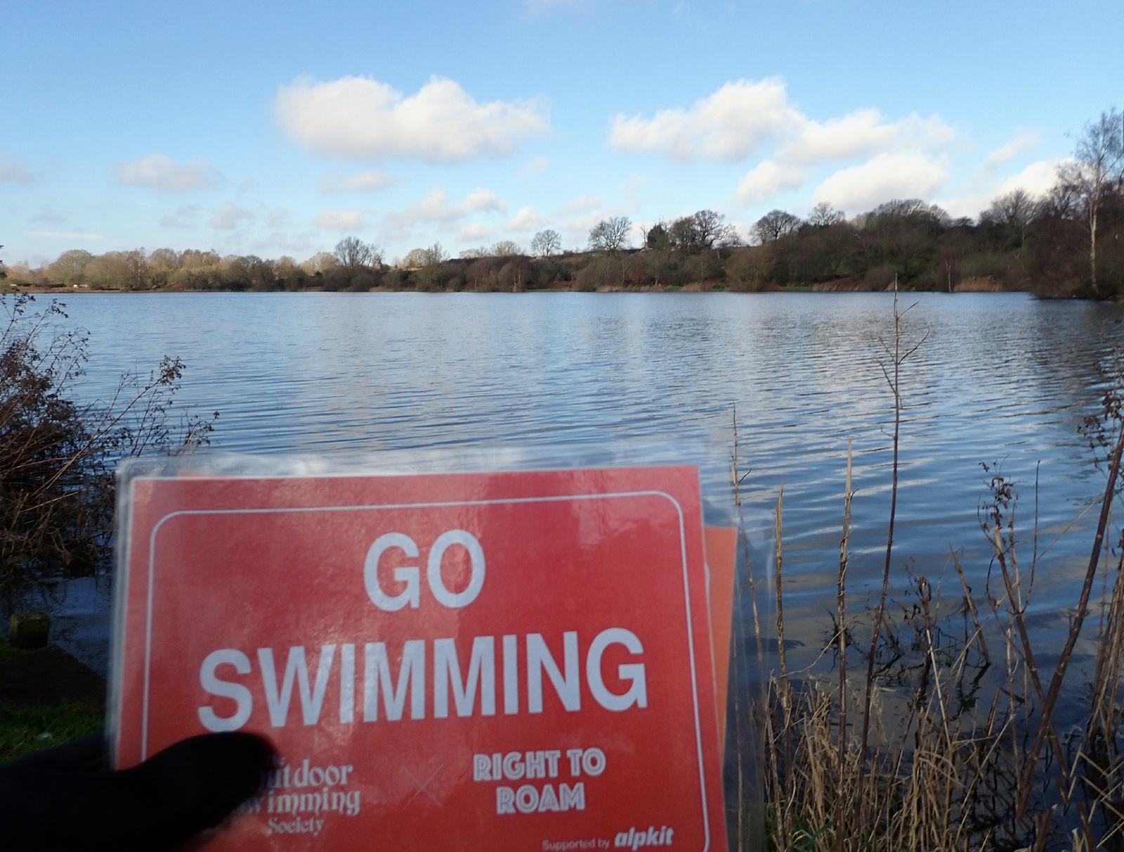
Meanwhile, swimmers will Go Swimming, doing so responsibly (following the Outdoor Swimmers Code), showing that it can benefit them and can be done safely. And they will do so in numbers that landowners cannot ignore which will help campaign for a Right to Swim.
Campaigning organisations include:
- Outdoor Swimming Society – Right To Swim: The OSS Manifesto
- Getting involved, on the Right to Roam website, https://www.righttoroam.org.uk/everybody-welcome
- Doing a trespass and sharing it, from Right to Roam, https://www.trespasserscompanion.org/
- ‘Outdoors For All’ brings together a large number of outdoor organisations working together to promote the manifesto. Read about it on the OSS website
- British Mountaineering Council – an interesting article, https://www.thebmc.co.uk/the-future-of-access-rights