|
County |
Norfolk |
|
River |
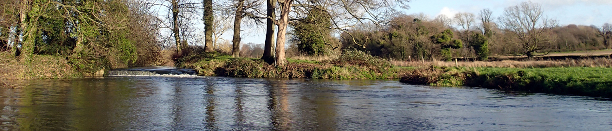
Great Ouse Relief Channel |
|
Swim location name |
Magdalen, (Wiggenhall St) Relief Channel |
|
Grid reference |
TF6027811289 |
|
Latitude |
52.67560181953419 |
|
Longitude |
0.36921553637618054 |
|
What 3 Words |
diplomats.painted.texts |
|
Other info |
Wide slow quiet river. Entry point from the small car park by the bridge, marked on map below and on grid reference finder: https://gridreferencefinder.com?gr=TF6027811289|Point_s_B|1&v=r&labels=1 Water moves slowly and can sometimes have duckweed or algae. Occasional boats. |
|
Swim account |
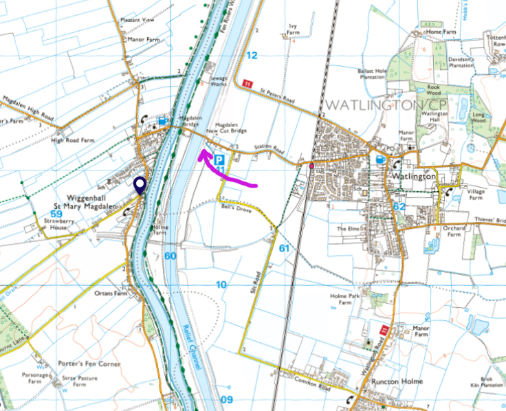
Map showing the channels, car park and swim entry point
Please note: all swims are at our own risk. Including a location does not indicate that it is recommended or that it is safe; each must do their own risk assessment each time they swim or travel to a location. I accept no liability for the choices that people make. There is Swim Safety info on this website, and on Outdoor Swimming Society website, Survive section.
Please follow the Outdoor Swimmers Code
[swim log 519]