Some places to get into the river, from recce 12 July 2020. This will be different during winter.
Please note: all swims are at our own risk. Including a location does not indicate that it is recommended or that it is safe; each must do their own risk assessment each time they swim or travel to a location. I accept no liability for the choices that people make. There is Swim Safety info on this website, and on Outdoor Swimming Society website, Survive section. Please follow the Outdoor Swimmers Code.
Mildenhall
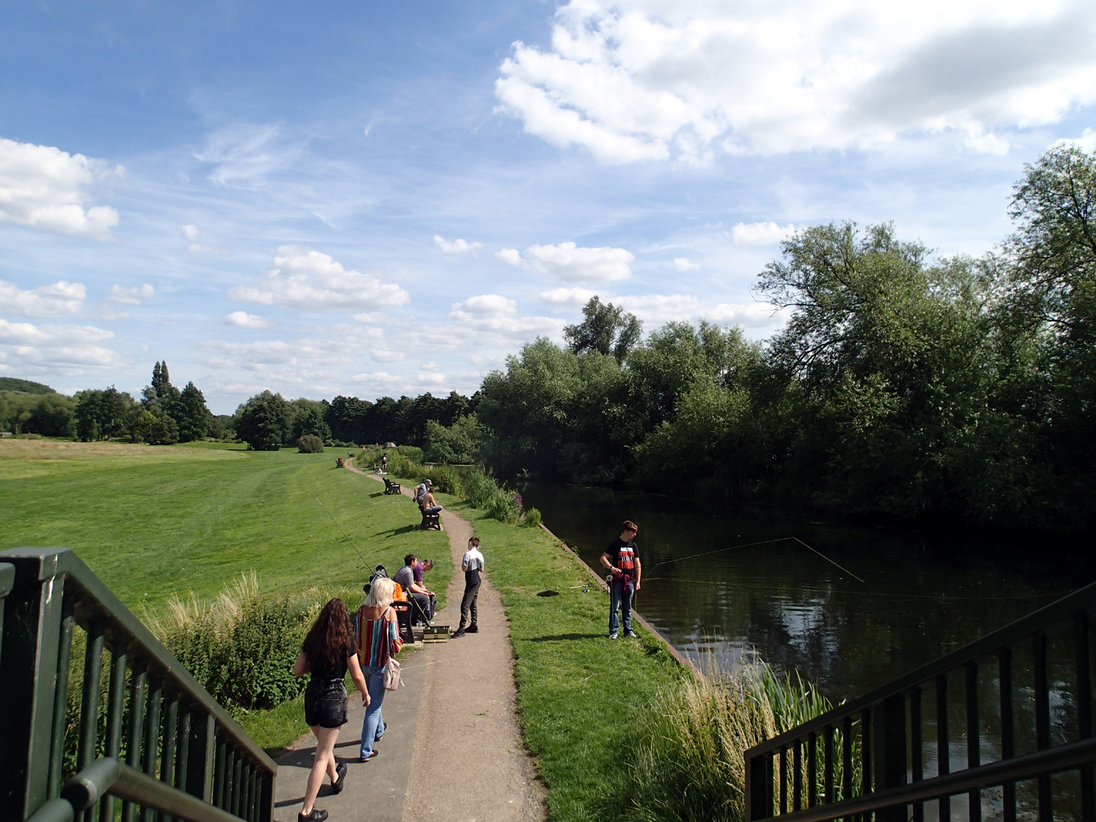
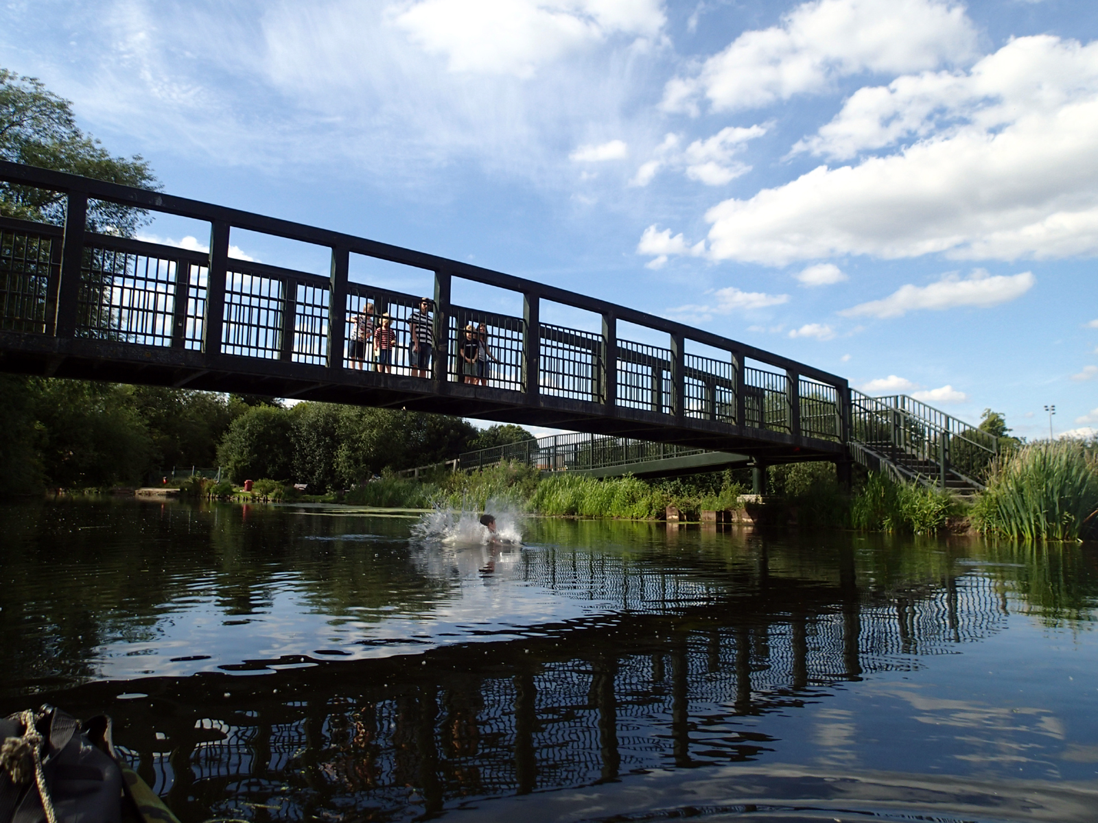
Park behind Sainsbury’s, where it is a very short walk to Jubilee Field (2.1 m barrier to the car park, free, open 24 hours). The field is very popular for picnics and ballgames, and the riverfront there is popular for local anglers, swan and duck feeding, and for jumping off the bridge and swimming – according to a boy who was doing just that!
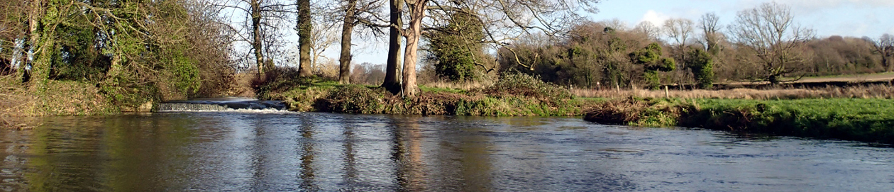
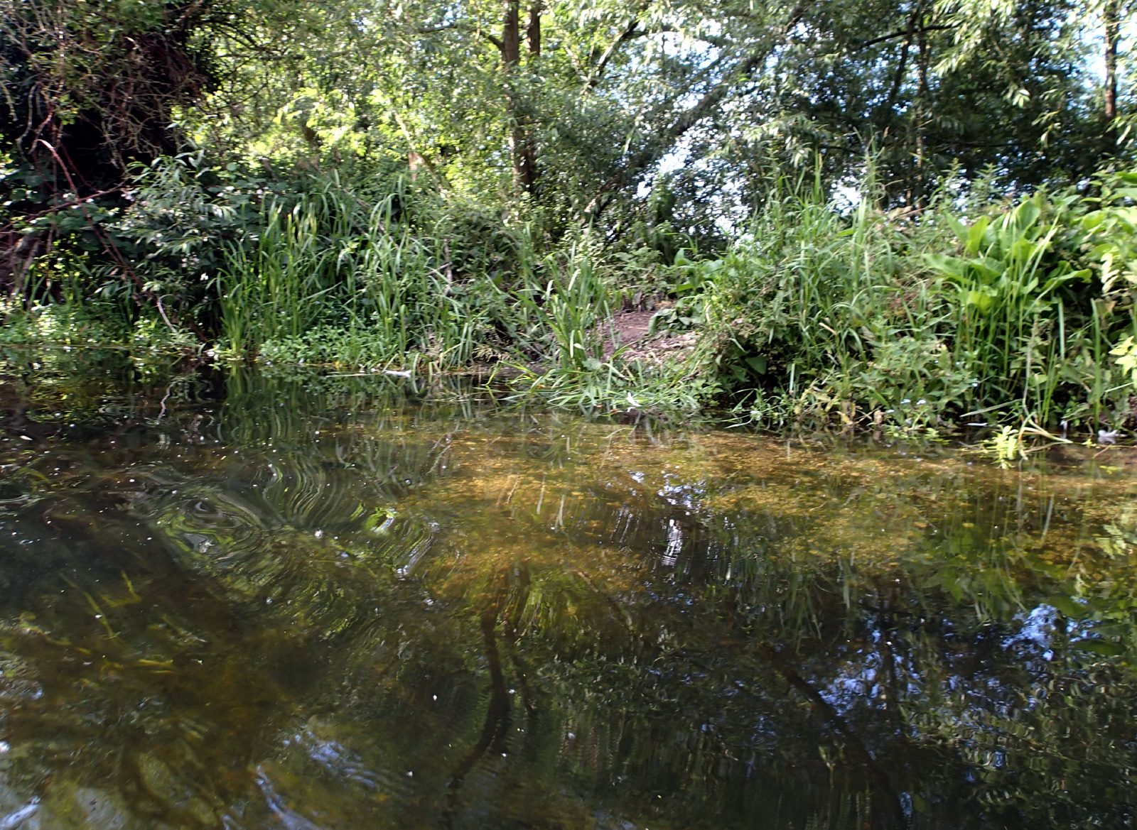
There is a footpath beside the river all the way to Barton Mills, and quite a number of easy access points from the footpath – in Jubilee Fields and all the way along. These points are mostly a short step down, shallow chalk entry, then deeper points. Some stretches are clear of weeds and others less so, but there are some very good long clear stretches (July 2020).
Near to the bridge in Jubilee Fields there are some rather yucky weeds about 2/3 metre or two or 3 feet below the surface, but it’s fine if you can keep your legs up! The experience is much more pleasant if you wear swim shoes. I haven’t tried other stretches, but I think there are fewer that have that sort of weed.

Worth mentioning the swans – there’s a group of about 25, but they caused me no problem when I kayaked past.
Nearest Post Code IP28 7QY
Lat,Long 52.340587,0.513370
Nat Grid TL713743
what3words porridge.segments.coins
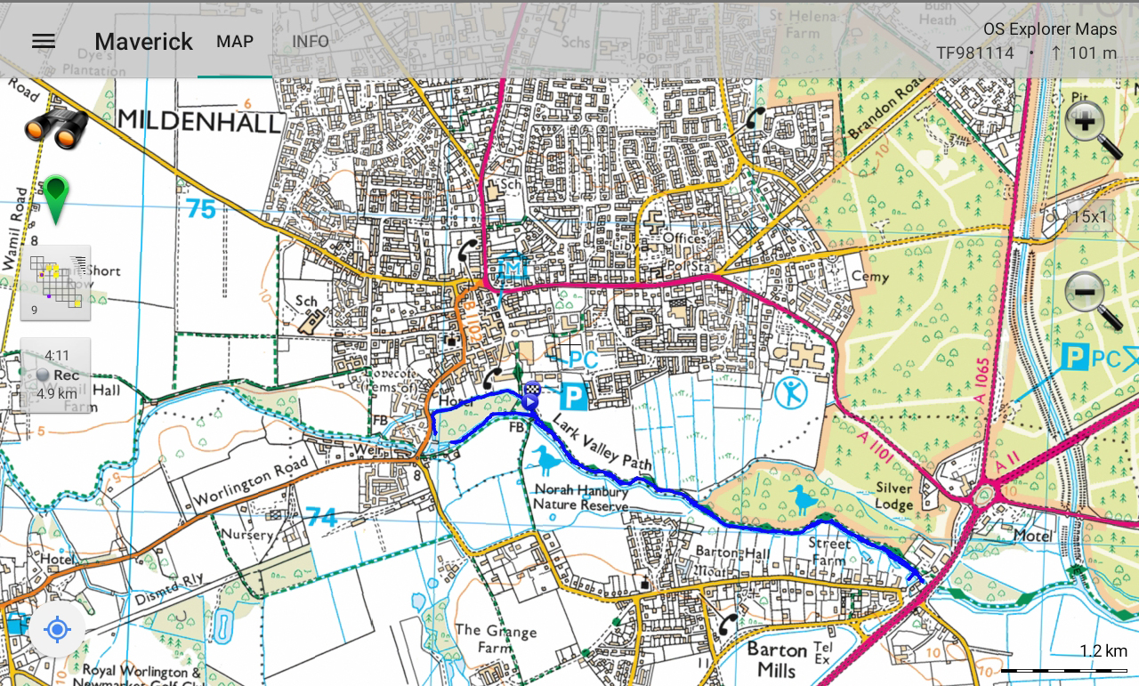
Gas Pool to Jubilee Fields
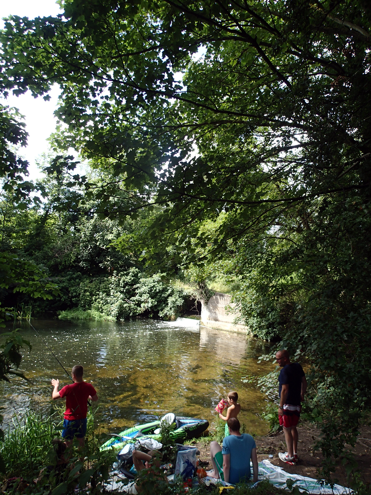
This weir pool is very popular, though tiny. To get there, you can cross the river on the footbridge from Jubilee Fields, turn right and follow the footpath along the river, cross a little footbridge and make your way down to the pool. Or approach it from the Worlington Road end of that same footpath.
Just upstream of Gas Pool there is a nice deep stretch of the river. Access is either from the footpath bank, which is not very easy. Or an access point which not everyone might choose to take as it involves ignoring no swimming signs, edging round a fence, and getting in from the top of the weir, with care. The actual entry into the water is into a shallow gravelly section before the water becomes deeper going upstream. Note – this applies in summer, but the water might be much faster in autumn/spring/winter, so only do this by judging conditions on the day.
Much nearer to the footbridge there are a couple of easier access points, one next to a fishing platform.
Note that the footpath normally continues downstream towards West Row and on to Isleham, but a footbridge just after Turf Pool is closed, so you have to take a diversion involving a path running down from Mildenhall Church.
Gaspool, Mill Street
Nearest Post Code IP28 7DR
Lat,Long 52.339758,0.509227
Nat Grid TL710742
what3words crawling.claw.precluded

Barton Mills
Near to the Barton Mills end of the footpath the water is much clearer, though there are fewer easy access points.
There is parking behind the BP garage and ambulance station and the waffle shack – you need to approach these along the A11 going north-east, so would have to drive through Barton Mills, onto the A11 then off again before the roundabout), also in the village of Barton Mills, where there is a pub. There are several garages/service stations/motels but you wouldn’t want to cross the A11 or other busy roads around the roundabout most of the time.
Nearest Post Code IP28 6AS
Lat,Long 52.336167,0.531278
Nat Grid TL725739
what3words hurricane.tagging.initial
The recce was done 12 July 2020, by kayaking this stretch and swimming at two points, and also with information from locals Sarah and Rachel.
See also access to the riverat Barton Mills, east/upstream of the A11, details on this page, Brecks locations for swims 4-7 Oct 2019
See River Lark and Mildenhall changes and swimmers
Please note: all swims are at our own risk. Including a location does not indicate that it is recommended or that it is safe; each must do their own risk assessment each time they swim or travel to a location. I accept no liability for the choices that people make. There is Swim Safety info on this website, and on Outdoor Swimming Society website, Survive section. Please follow the Outdoor Swimmers Code.